When the Sea Keeps Its Own Records
In two island communities on the edge of the Visayan Sea, catch data became something entirely new, a mirror held up to the ocean, and to the people who depend on it.
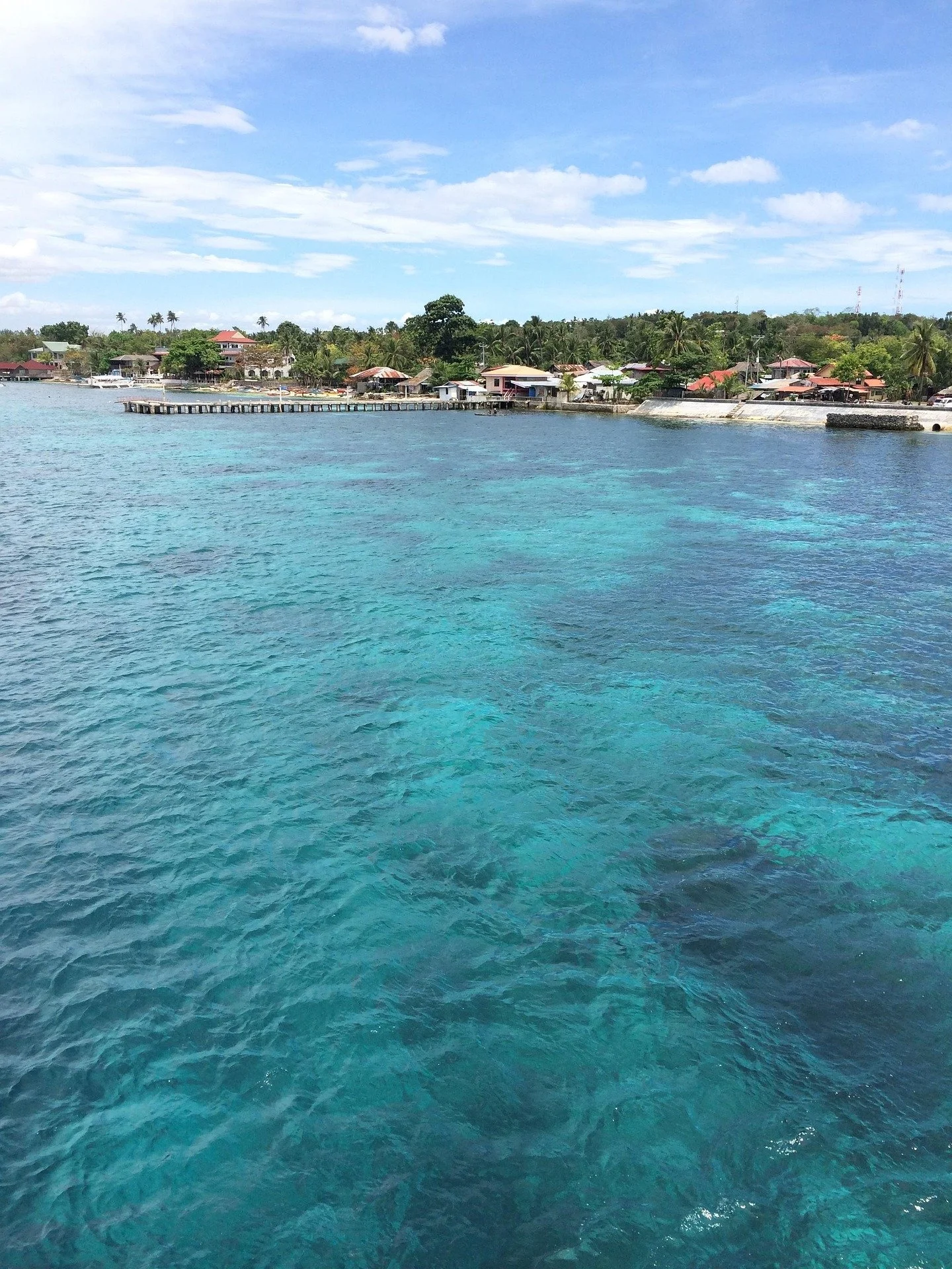
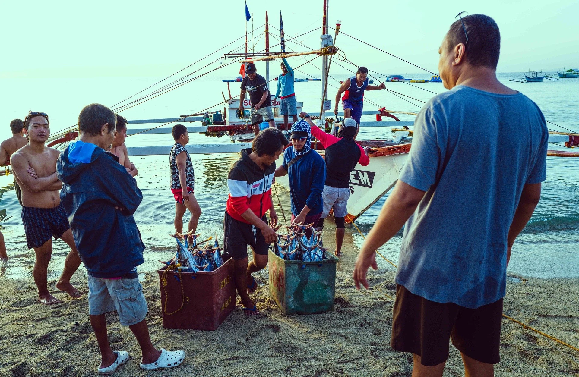
Every morning before sunrise, the wooden bancas of Guimbitayan and Higantangan push off into waters that have fed these islands for generations. The fishers, almost all of them small-scale, working within the 15-kilometer municipal boundary, carry hooks, nets, and the kind of patient, embodied knowledge that no dashboard can replicate. What they lacked, until recently, was a way to see their own data
Working alongside People and the Sea, Conservation Mind helped turn years of raw catch records into a living picture of how these fisheries actually breathe; what they yield, when, and to whom.
"The numbers already existed. Our job was to make them speak."
At the heart of the analysis was lagaw - a locally abundant reef-associated species central to both the diet and the income of these communities - alongside other key species tracked across the annual cycle.
The seasonality analysis drew on the same logic that fisheries scientists apply to large commercial fleets, but scaled to the granular reality of artisanal fishing: variable gear, variable effort, no port infrastructure, and communities where the line between subsistence and commerce blurs with every typhoon. That context-sensitivity, built into the visualizations from the start, is what made the outputs usable rather than merely informative.
For People and the Sea, the outputs feed directly into their ongoing fisheries management program on the islands. For the local government, they constitute something rare in small-scale Philippine fisheries: an evidence base built by and for the community itself, ready to support management decisions on closed seasons, gear restrictions, and resource allocation.