Learn. Apply. Protect.
We believe conservation is strongest when science and technology work hand in hand with local knowledge. Our toolkit brings together drones, remote sensing, and AI to provide clear insights into ecosystems and wildlife. Each tool we use is selected to strengthen conservation efforts on the ground and in the water.

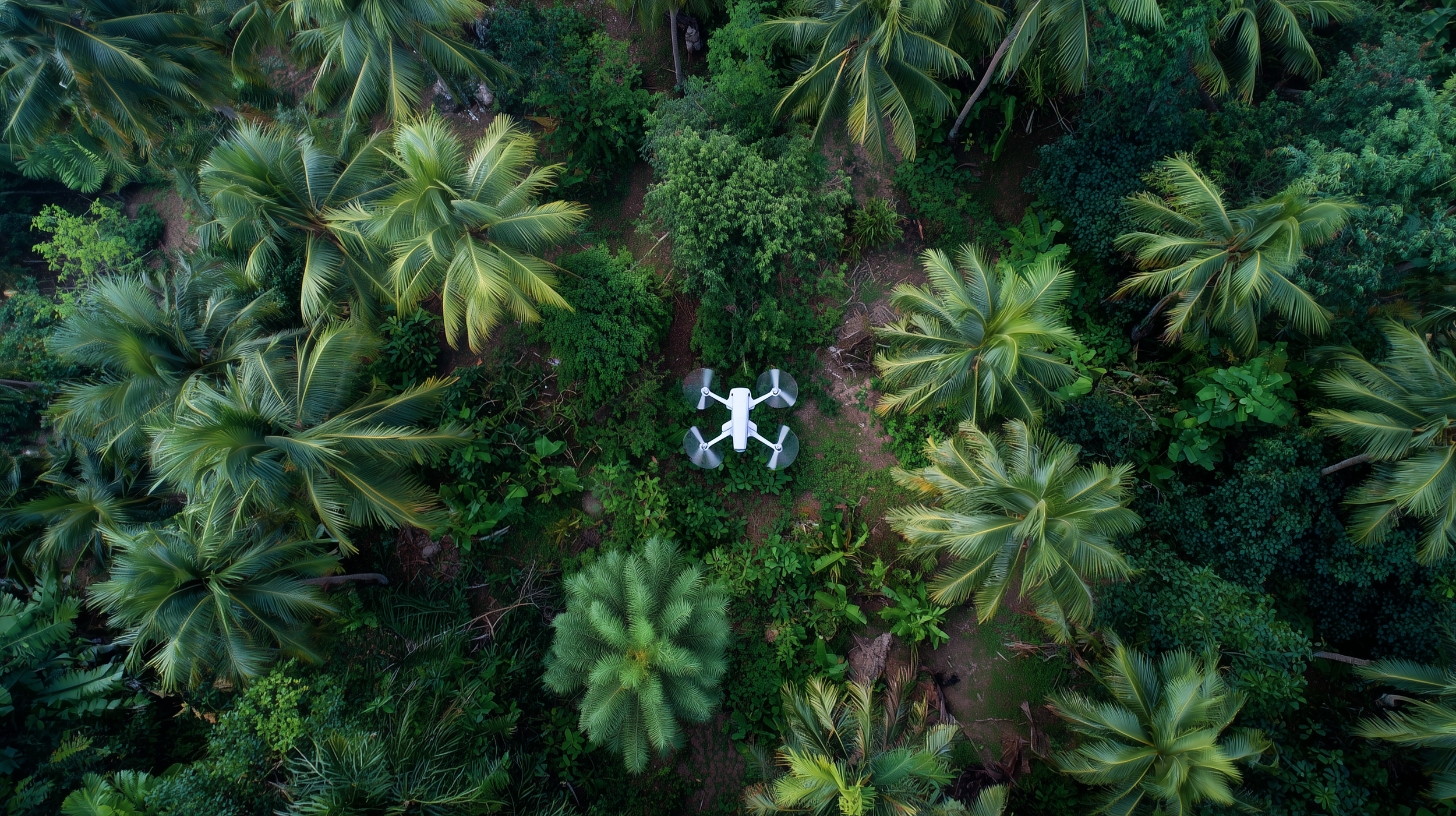
Remote Sensing & Aerial Technologies
We use a range of aerial and remote sensing tools to monitor ecosystems and wildlife from above. Drones, cameras, and GPS tools provide high-resolution data for habitat mapping and species monitoring.
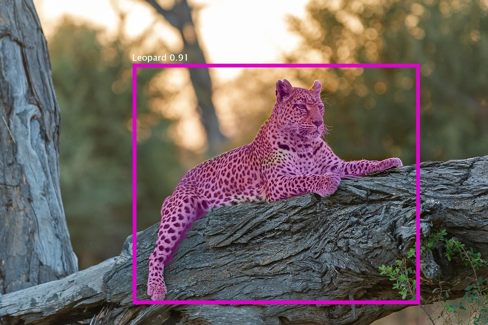
Artificial Intelligence & Computer Vision
AI models and computer vision automate the detection, classification, and analysis of habitats, species, and human activities. Our AI pipelines, built on state-of-the-art machine learning models, allow conservation teams to process vast amounts of images and video quickly and accurately.
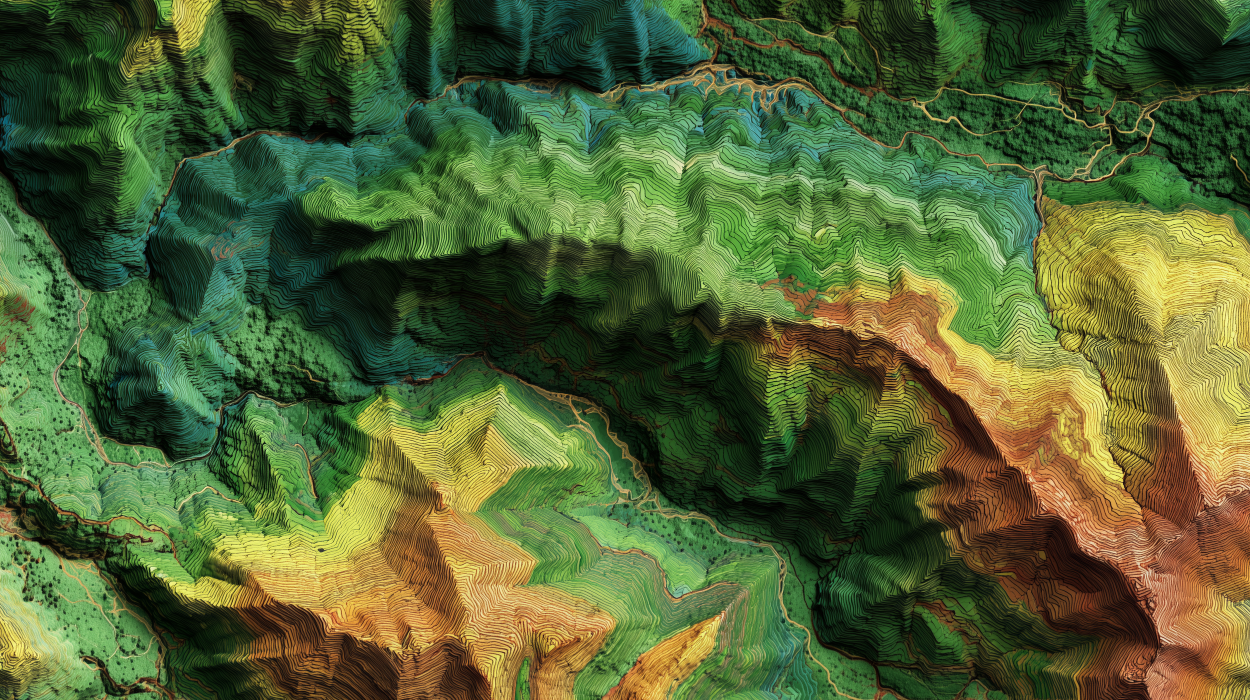
GIS & Spatial Analysis
We use GIS to turn complex environmental data into clear maps and visualizations. Spatial analysis helps identify patterns, track changes across landscapes and seascapes, and support data-driven decisions for conservation planning and resource management.
Data Visualization & Reporting
Transforming data into clear, actionable communication is a critical part of our work. Data visualization, clear reports, and infographics turn complex data into actionable insights.

Making Technology Accessible for All in Conservation
Many of the most impactful conservation efforts are led by local groups, small NGOs, and community organizations working directly with ecosystems and wildlife. Yet, these groups often face barriers to accessing the tools they need.
We are committed to breaking down those barriers by:
Providing affordable or shared access to drones, remote sensing tools, camera traps, and AI-based software.
Training practitioners and community members in the use of these tools, from data collection to analysis and visualization.
Offering technical support to ensure that projects run smoothly and data is used effectively.
Co-developing solutions tailored to local needs, so technology is not just applied but truly integrated into conservation strategies.
